
Mount Isa Mines Rehabilitation Material Sampling and Analysis Plan
About Project
Rehabilitation Material Sampling and Analysis
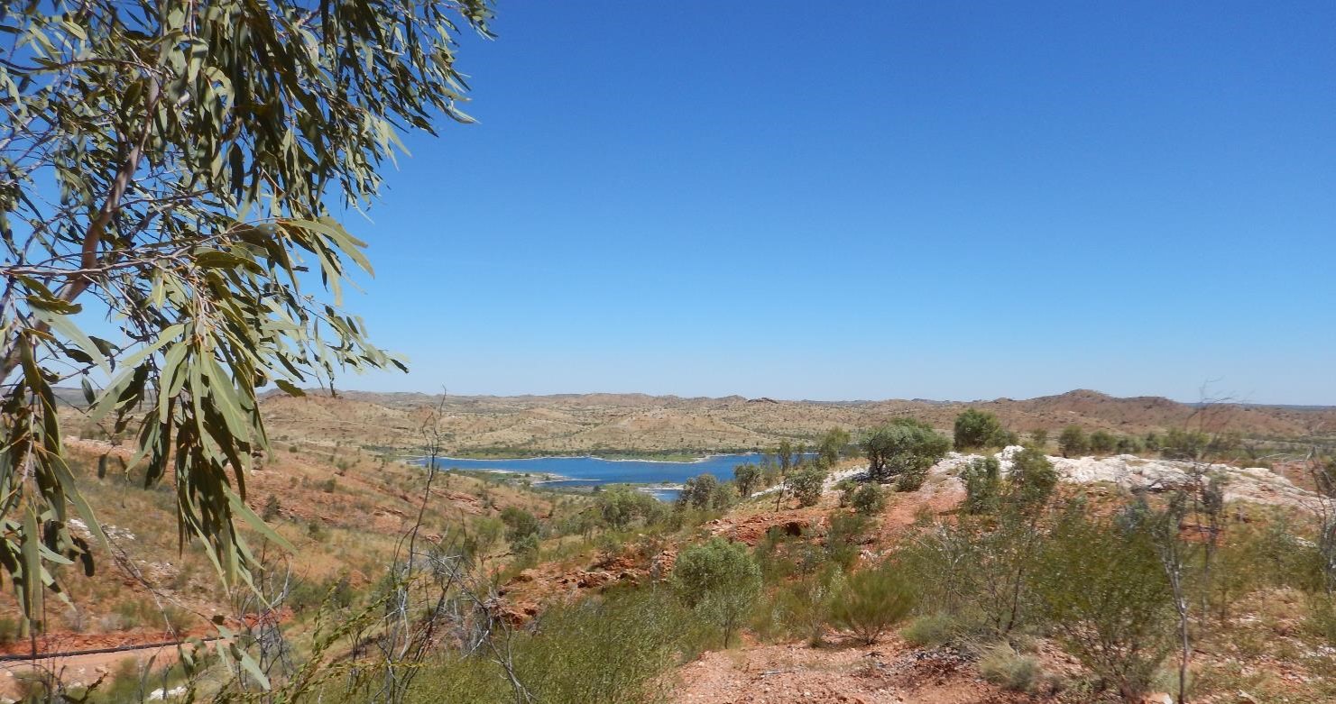
RGS was engaged by Glencore’s Mount Isa Mines Limited (MIM) to develop and undertake a Rehabilitation Material Sampling and Analysis Program (RMSaAP) to identify and quantify potential materials that can be used to rehabilitate the large tailings storage facility (TSF) with an earthen cover system sourced from adjoining hills. Samples, collected from a test pit/ drilling program, were analysed to evaluate chemical/ physical properties of regolith within major rock/ soil types. The data were used to characterise the suitability of the potential borrow material for construction of a soil cover system on the MIM TSF. Deswik software was used to develop a stratigraphic 3-D overburden model to delineate rehabilitation borrow sources and schedule several options for the TSF cover placement using 3D animations. SEEP/W modelling was used to evaluate how the conceptual soil cover system options may perform using material from the potential borrow areas.
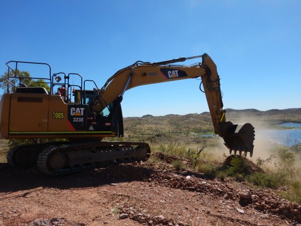
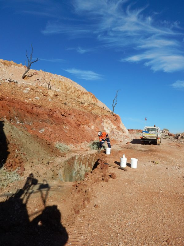
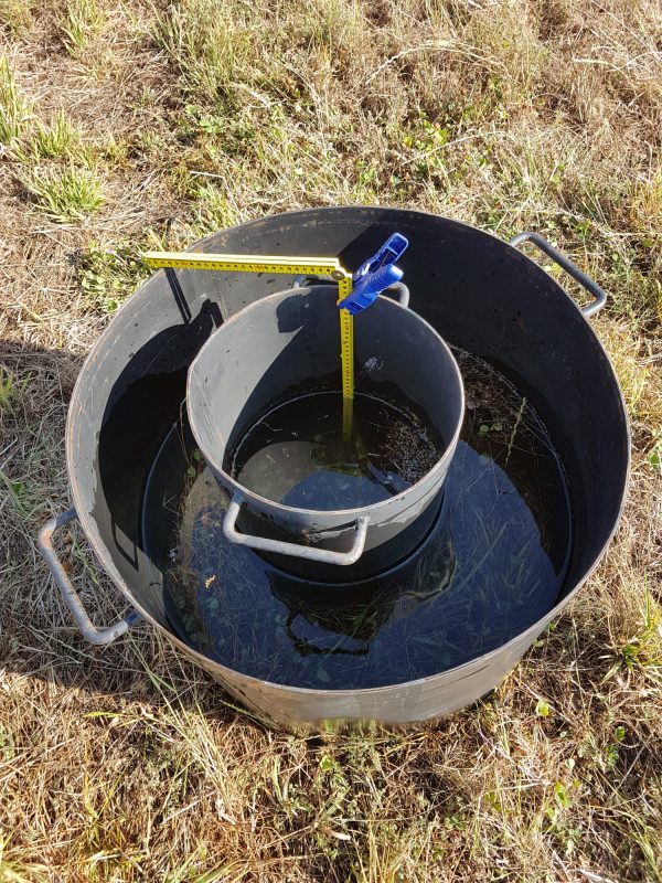
Diamond core drilling and test pit program
The objective of the sampling and analysis program was to determine the depth, structure and texture of the regolith in hills surrounding the TSF. A drilling and test pitting program was used to collect representative samples from major soil and geological units within potential borrow areas. The samples were subject to a range of mineralogical, geochemical and physical testing.
Unsaturated (Vadose) zone modelling
The physical testing results for material types were used to undertake unsaturated flow modelling using SEEP/W (GEO-SLOPE, 2018) to evaluate the performance of the proposed soil cover. A 2D slice through the TSF with overlying cover system was simulated under transient conditions for several scenarios.
Landform haulage scheduling of TSF cover placement
Deswik.CAD software used to develop concept level stratigraphic 3-D overburden model with soil profile and underlying regolith. Deswik.LHS (landform haulage scheduling) is an example of a scheduling option for placement of mined soil/regolith from borrow pits onto the TSF. The animation uses the existing roads within the TSF footprint for LHS; assumes that there are no access limitations for machinery etc. and the final tailings beach has been re-graded to direct surface flow towards the spillways; and, truck specifications in model include using small trucks CAT 725G (20t capacity) and the use of one Komatsu PC1250 excavator to feed the truck fleet.
RGS